DARPA’s plan for total surveillance of low-flying drones over cities
September 16, 2016

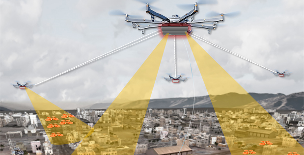
An artist’s concept of Aerial Dragnet system: several UAS carrying sensors form a network that provides wide-area surveillance of all low-flying UAS in an urban setting (credit: DARPA)
DARPA’s recently announced Aerial Dragnet program is seeking innovative technologies to “provide persistent, wide-area surveillance of all unmanned aerial systems (UAS), such as quadcopters, operating below 1,000 feet in a large city.
UAS devices can be adapted for terrorist or military purposes, so U.S. forces will “increasingly be challenged by the need to quickly detect and identify such craft — especially in urban areas, where sight lines are limited and many objects may be moving at similar speeds,” DARPA said.
While Aerial Dragnet’s focus is on protecting military troops operating in urban settings overseas, the system could ultimately find civilian application to help protect U.S. metropolitan areas from UAS-enabled terrorist threats, DARPA said.

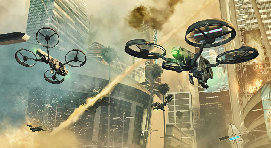
AI-controlled armed, autonomous UAVs may take over when things start to happen faster than human thought in future wars. From Call of Duty Black Ops 2. (credit: Activision Publishing)
DARPA envisions a network of surveillance nodes, each providing coverage of a neighborhood-sized urban area, perhaps mounted on tethered or long-endurance UAS. Sensors could look over and between buildings, the surveillance nodes would maintain UAS tracks, even when the craft disappear from sight around corners or behind objects.
The Aerial Dragnet program seeks teams with expertise in sensors, signal processing, and — interestingly — “networked autonomy.” A Broad Agency Announcement (BAA) solicitation detailing the goals and technical details of the program is available here.

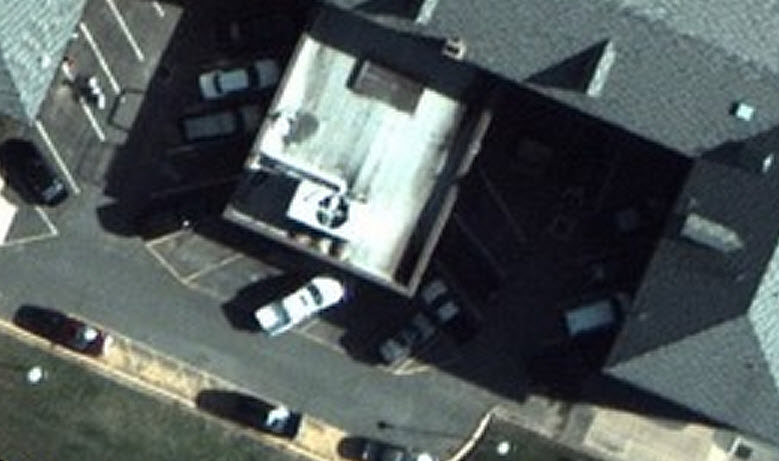
ARGUS view from 20,000 feet (credit: DARPA)
Aerial Dragnet could conceivably link with ARGUS-IS — a 1.8-gigapixel video surveillance platform that can resolve details as small as six inches from an altitude of 20,000 feet (probably the highest-resolution camera in the world).
It could also tie in with a system being developed at NASA Ames Research Center for drone traffic management called UAS traffic management (UTM). Designed to enable safe low-altitude civilian UAS operations, it would provide [drone] pilots information needed to maintain separation from other aircraft by reserving areas for specific routes, with consideration of restricted airspace and adverse weather conditions.
The dynamic drone scene may get even more interesting on Monday Sept. 19, when GoPro plans to announce the much-anticipated high-maneuverability Karma camera drone and Hero 5.
GoPro: Karma Is Out There
Drone Compilations: Top 5 Drone Inventions of 2016