Ultrasharp 3-D maps
April 27, 2011 | Source: Technology Review
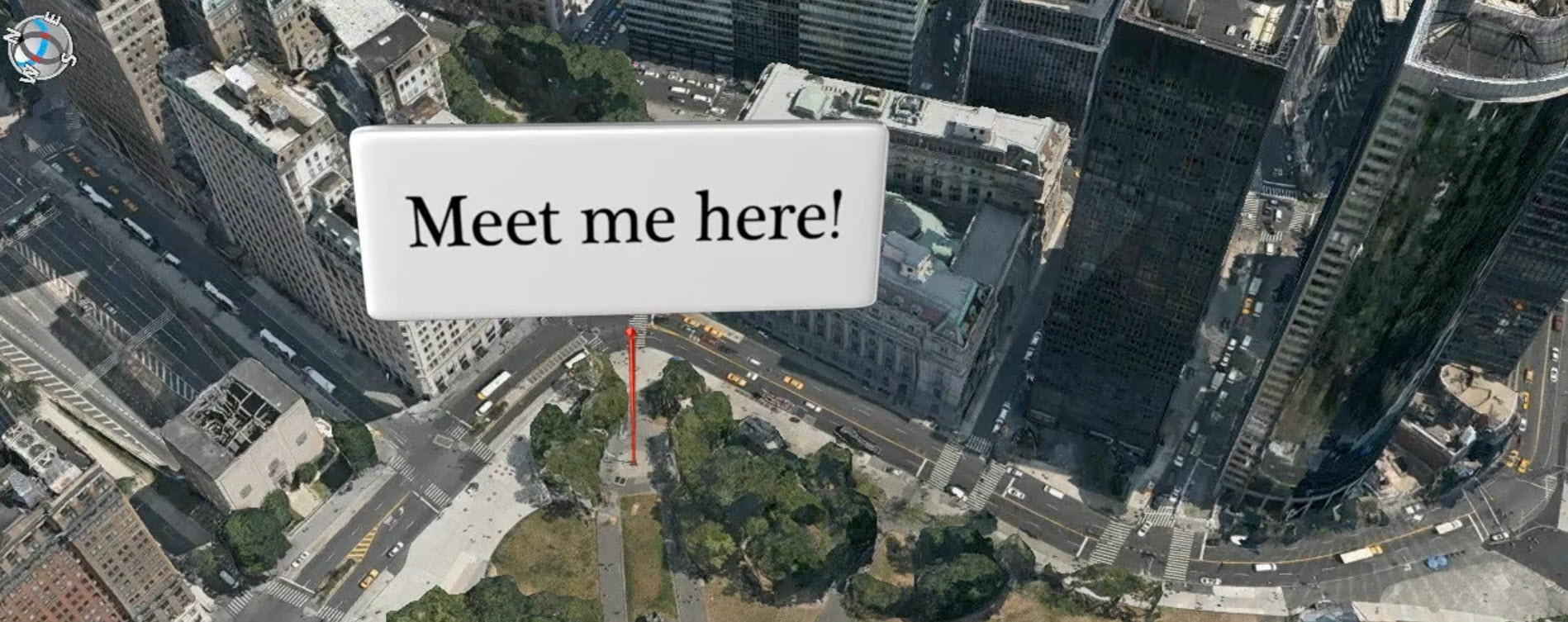
C3 Technologies is building 3-D color models of major cities that capture the shapes of buildings to a resolution of 15 centimeters or less, making mapping apps and augmented-reality apps more precise and functional than Google Earth.
A spinoff from Swedish aerospace company Saab, C3 Technologies is licensing the models for mapping and other applications. First customer to go public: Nokia, which used the models for 20 U.S. and European cities for an upgraded version of its Ovi online and mobile mapping service, released last week.
C3’s models are generated with little human intervention. First, a plane equipped with a custom-designed package of professional-grade digital single-lens reflex cameras takes aerial photos. Four cameras look out along the main compass points to image buildings from the side as well as above. Additional cameras capture overlapping images, producing a final set that contains all the information needed for a full 3-D rendering.
